Description
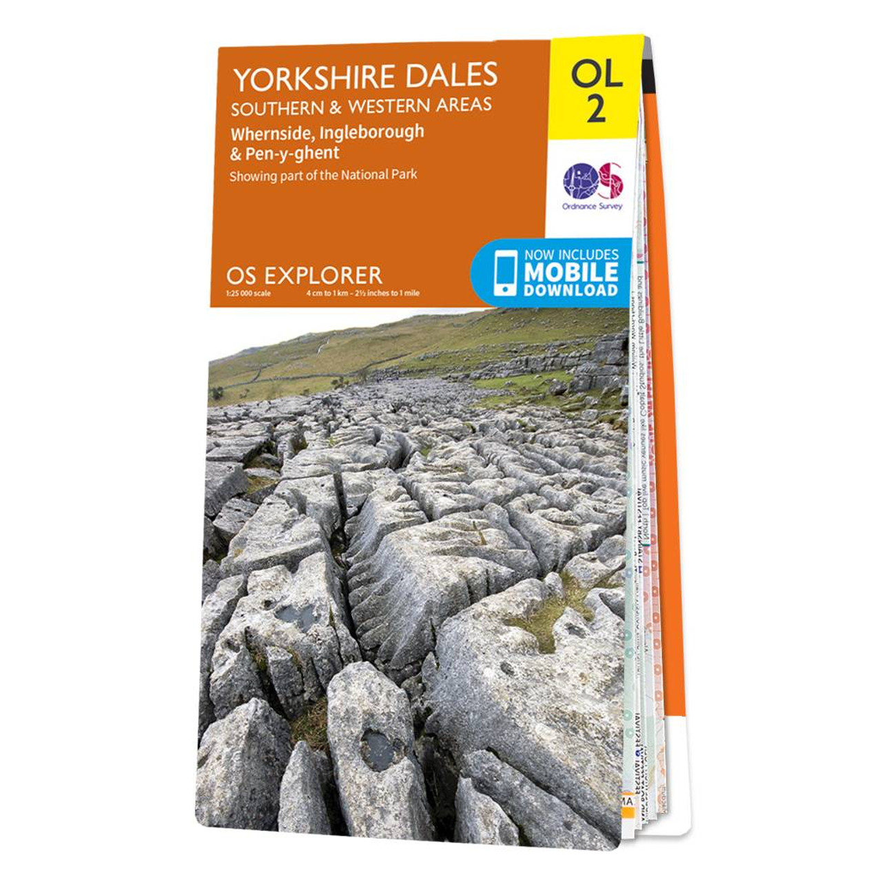
The OS Explorer map of Yorkshire Dales, Southern & Western area includes Whernside, Ingleborough, & Pen-y-ghent is the perfect walking map or long-distance trail map.
With Explorer OL2 you can take on the Yorkshire Three Peaks circular route. The total walking distance is 24.5 miles (39.2km), starting at Horton-in-Ribblesdales, Ribblehead or Chapel le Dale, with the circular route finishing at the point you begin.
Whether you're looking to take on the three peaks or just looking for an easier walk through the South-West of the dales, this walking map is a must-have.


Reviews
There are no reviews yet.